By David Jacobson, Temblor
See if you are in a flood zone

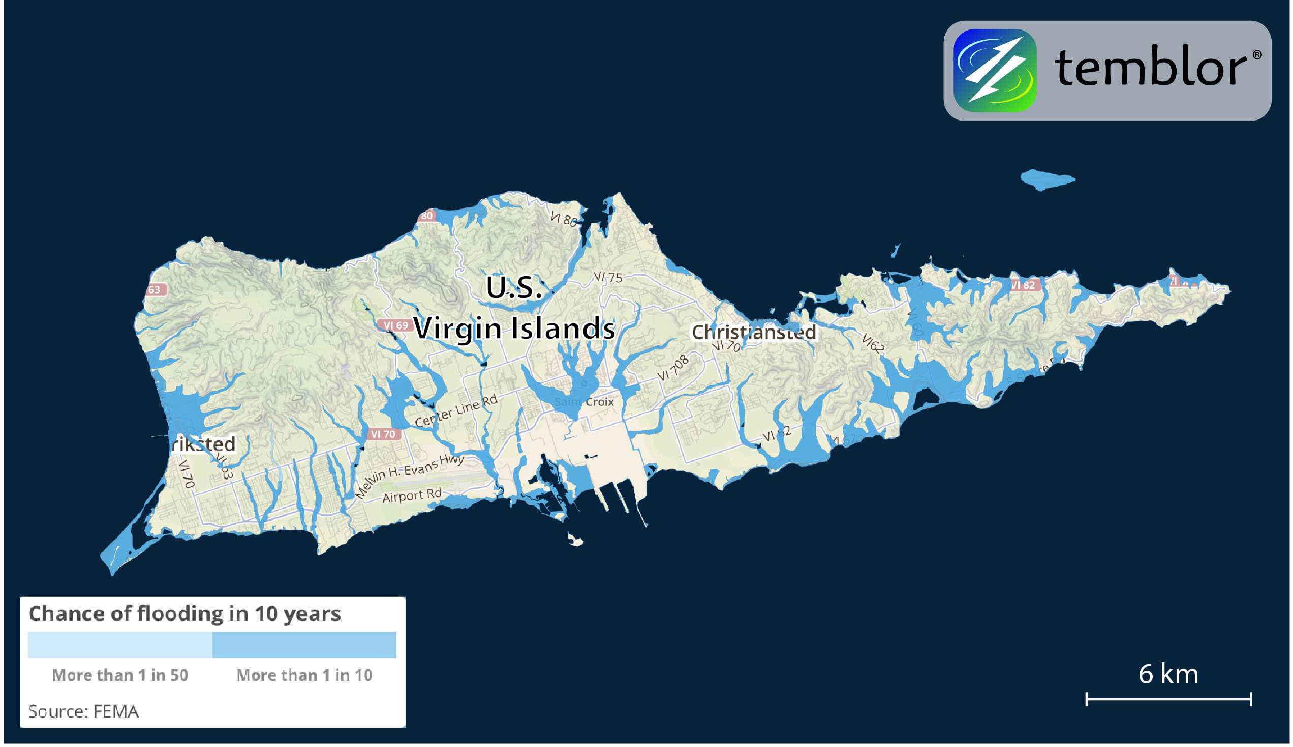
When Hurricane Maria barreled through Puerto Rico two weeks ago, it brought with it Category 4 wind, and torrential rain. In the aftermath of the storm the country is left to pick up the pieces, with some parts of the country estimated to be without power for months. While the majority of pictures tend to show buildings with their roofs ripped off by 100+ mph winds, flooding also wreaked havoc on the island and required that several people be rescued by helicopter. Because Puerto Rico is an unincorporated territory of the United States, FEMA has flood maps for the entire country. In order to see these maps in Temblor, one of which is shown below, you have to select an address in the United States, turn on the flood layer, and then search for Puerto Rico. What the map below reveals is how nearly the entire coastal region, including the capital of San Juan, is susceptible to flooding.

In addition to the FEMA flood map for Puerto Rico, the company KatRisk, which is based in Berkeley, frequently produces footprints projecting where flooding could be greatest. The figure below shows this model for Hurricane Maria. What immediately becomes evident is the similarity this footprint has with the FEMA flood map. This is likely because Hurricane Maria swept across the entire island, dumping rain everywhere. Additionally, KatRisk flood footprint data is a combination of FEMA storm surge data and KatRisk’s proprietary inland flood maps, so similarities would be expected.

Even though the flood waters have now receded, their effects are still being felt, and will continue to be felt for many months. As hurricane-force winds swept across the country, parts of building were ripped off. The flood waters then exacerbated the wind damage by picking up these debris, and in many cases blocked roads. This will slow both rescue and recovery as many streets need to be cleared before more work can be done. Additionally, while 50% of Puerto Rican households carry wind insurance, less than 1% have FEMA flood insurance. This means that many locals will have to pay for flood damage completely out of pocket. This highlights the importance of understanding the hazards you are exposed to and protecting yourself in as many ways as possible.
Reference
FEMA
- Beware quiet segments of the Philippine Fault - May 16, 2025
-
ډیری عوامل افغاني ټولنې د زلزلې پر وړاندې زیانمنوي
- August 11, 2022 - What’s happening this week in Humboldt County, California: The squeeze - February 6, 2019