Click here to see the interactive earthquake map.
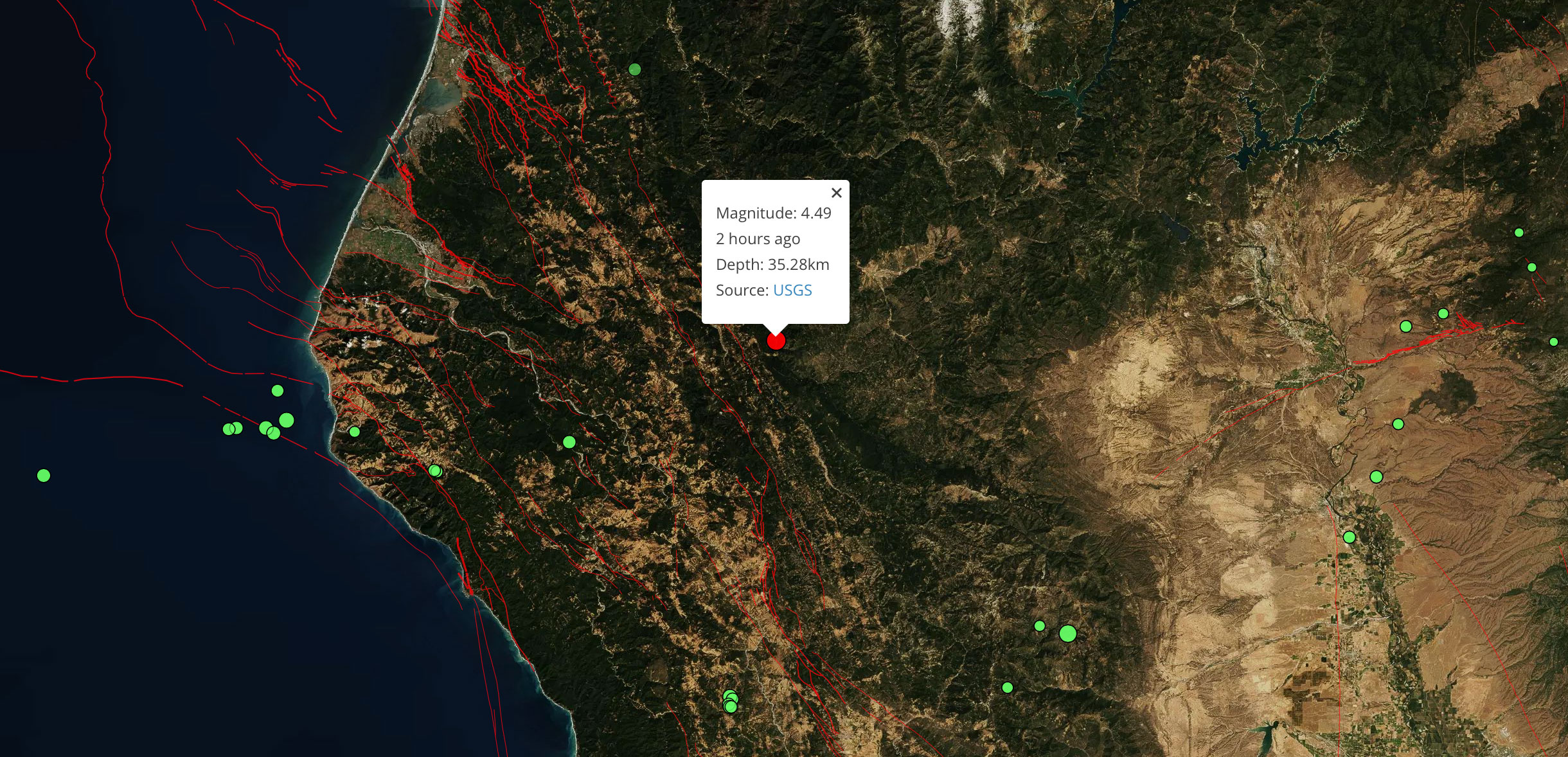
At 14:20 Sunday afternoon, a Magnitude 4.5 earthquake struck 23km WSW of Hayfork, California, not far from Fortuna, Bayside, and Arcata. This was a moderately deep quake occurring about 35.28 km below Earth’s surface, and it caused only weak shaking.
Click here to see the interactive earthquake map.
Latest posts by Temblor (see all)
- Beware quiet segments of the Philippine Fault - May 16, 2025
-
ډیری عوامل افغاني ټولنې د زلزلې پر وړاندې زیانمنوي
- August 11, 2022 - What’s happening this week in Humboldt County, California: The squeeze - February 6, 2019