Scientists and a Japanese cell phone provider are working together to measure land movements, with an eye toward locating earthquakes.
By Melissa Scruggs, Ph.D. (@VolcanoDoc)
Citation: Scruggs, M., 2022, Self-driving cars and earthquakes have more in common than you’d think, Temblor, http://doi.org/10.32858/temblor.254
If you’ve ever hailed an Uber or used Google Maps, your location was tracked using a system of satellites that send information to receivers around the globe. As smartphones permeate our lives, telecommunications companies have improved their cell phone base stations to provide high-quality, location-based information. This may sound like GPS, but that is just one of many Global Navigation Satellite Systems (GNSS) currently used in everyday life to determine the precise location of something – from airplanes to a lost smartphone.
Scientists and governments maintain networks of high-precision geolocation receiver stations, and use them to build weather forecasts, map land and its movements and monitor active faults and volcanoes. Geodesist and seismologist Yusaku Ohta of Tohoku University says he recognized that telecommunication company base stations — accurate enough to locate a self-driving car — could increase the density of Japan’s existing network of geolocator stations by 250 percent.
In a recent study, Ohta and his colleague, Mako Ohzono, evaluated the accuracy of location data produced from cell phone base stations owned by Japanese telecommunications company, SoftBank. The pair measured ground displacement from a magnitude-7.1 earthquake that struck near Fukushima, Japan, in 2021, as well as the movement that occurred during two nine-day periods without felt earthquakes. Ohta compared Softbank’s data with information from the network maintained by the Geospatial Information Authority of Japan that is typically used by scientists to identify faults and understand earthquakes.
Increased density produces a clearer picture
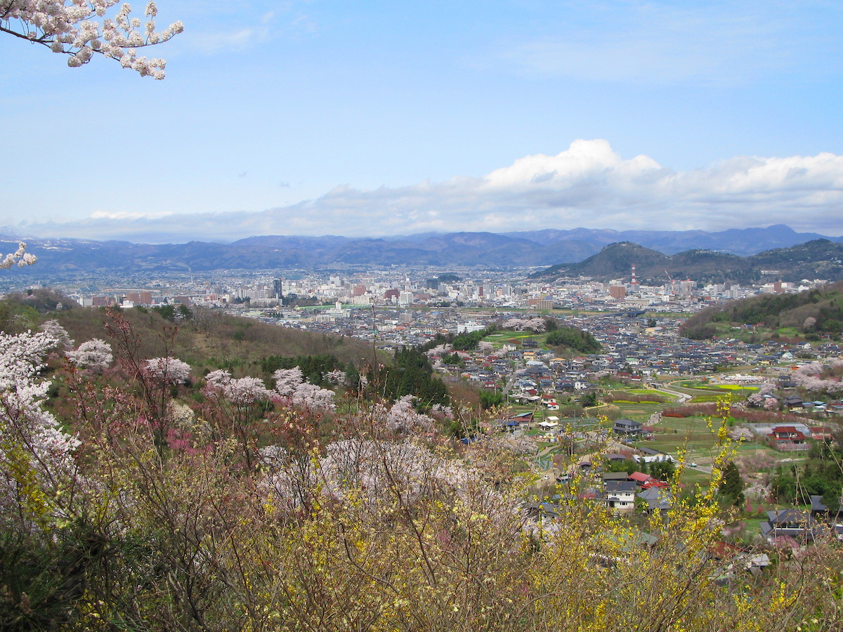
The Tohoku region of Japan is no stranger to earthquakes. The 2011 magnitude-9.1 Great Tohoku-Oki earthquake and tsunami struck a little over 11 years ago. Last month’s offshore magnitude-7.3 earthquake in the same region is just one out of about 1,500 earthquakes strong enough to be felt in Japan every year, says earthquake scientist Wendy Bohon.

Government-maintained geodetic networks are helpful for quickly estimating the location and amount of movement that occurs on a fault during a large earthquake, but Ohta’s previous work suggests that the Japanese network may not be dense enough to accurately capture movement from more common, smaller magnitude earthquakes. Smaller faults, which are often the host of these minor quakes, are generally shorter than the distances between government stations and are thus difficult to locate. Much like upgrading a smartphone to one with a higher resolution camera to take crisper pictures, a denser ground motion sensor network can give scientists a better understanding of how the landscape is changing. When Ohta and his colleagues constructed and included more stations for analysis, they detected tinier ground movements than could be measured without the additional stations.
In the most recent study, Ohta and Ohzono found that Softbank stations recorded accurate, high quality data, comparable to the data currently produced by government-maintained stations. Adding these stations to the network reduced the distance between stations to less than four miles (six kilometers), giving the pair a clearer picture of how the ground moves over time. Ohta says his team and Softbank plan on collaborating further to confirm the quality of their data over longer time periods.

Corporate partnerships may offer a path forward
Partnerships between hazard researchers and the private sector can be fruitful for both parties. Science gains knowledge and much-needed funding, and the corporate partner may gain a favorable reputation with the public. The collaboration with SoftBank is possible, Ohta says, because the company feels a social responsibility, considering Japan’s numerous earthquakes and eruptions.
A socially conscious cell phone user may choose a company with a slightly more expensive plan, says Bohon, “[if] they are working to make people’s lives better and to serve [their] communities.” Such partnerships would be particularly helpful in the United States, where more than 100 geolocation stations are being decommissioned due to a reduction in funding. “If we can partner with private companies that are already developing or already have that infrastructure – that’s only a net positive,” she said.
References
Dasgupta, A. (2016, September 16). Evolution of the Global Navigation Satellite Sysytem [sic] (GNSS). Geospatial World. https://www.geospatialworld.net/article/global-navigation-satellite-system-gnss/
Ohta, Y., et al. (2008) Coseismic and postseismic deformation related to the 2007 Chuetsu-oki, Niigata earthquake. Earth, Planets, and Space. https://doi.org/10.1186/BF03353140
Ohta, Y., & Ohzono, M. (2022) Potential for crustal deformation monitoring using a dense cell phone carrier Global Navigation Satellite System network. Earth, Planets and Space. https://doi.org/10.1186/s40623-022-01585-7
Further Reading
UNAVCO. (n.d.). Network of the Americas [NOTA]. https://www.unavco.org/projects/major-projects/nota/nota.html
- Venezuela’s doublet leaned toward Caracas - June 30, 2026
- Is Southern California’s Cajon Pass an ‘earthquake gate’ ready to open? - June 29, 2026
- Philippines magnitude 7.8 shock may have loaded the central Cotabato subduction zone - June 11, 2026