
By David Jacobson and Ross Stein, Ph.D., Temblor

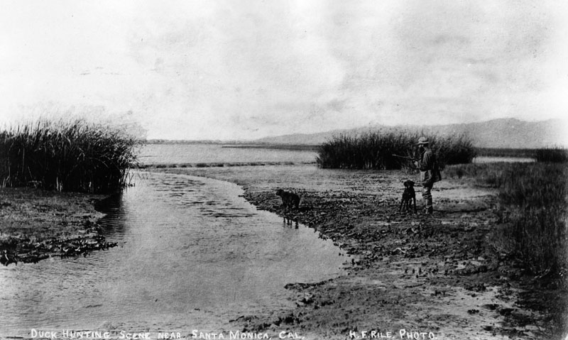
Marina del Rey is a seaside community of 9,000 people wedged between the Venice canals to the north and the Los Angeles International Airport to the south. It is best known for its harbor, where 5,000 boats are berthed. While the yacht basin is now rimmed by condominiums, yacht clubs, restaurants, and luxury hotels, this entire area was once a swampy marshland. In fact, in 1890, the area was mainly inhabited by ducks, and select hunters looking for a meal.
The history of Marina del Rey goes back to 1887 when there was the goal of turning the Playa del Rey into a major commercial harbor. However, those plans took a back seat when the major real estate speculator backing the project went bankrupt. It wasn’t until the 1930s that the concept of a harbor was revived. This was partially due to a 1932 amendment that expanded the definition of commerce to include the use of waterways by smaller boats, but also the flooding of Ballona lagoon in the early 1930s.


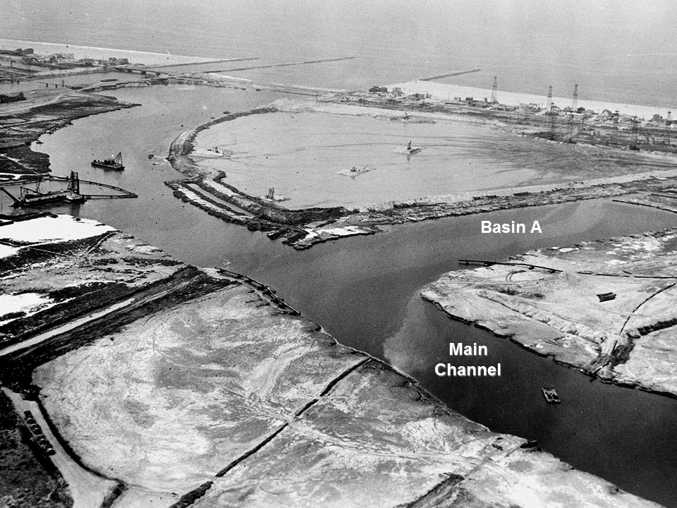
It was not until 1962 that dredging of Marina del Rey was completed, when it became the largest human-made small craft harbor in the country. Since then, the development has expanded as a luxury recreational area with great value to Los Angeles County.
Even though Marina del Rey may have an idyllic location in terms of the scenery and access to the Pacific Ocean, it also has an Achilles heel. Much of the sediment Marina del Rey is built upon is young, unconsolidated, and water-saturated making it very susceptible to liquefaction in an earthquake. Liquefaction is the process whereby strong ground shaking causes water-saturated sediments to lose cohesion, allowing them to behave like a liquid. This can cause buildings, cars, and other heavy objects to sink or tilt. Devastating impacts of liquefaction have been seen in the 2011 M=6.3 Christchurch, New Zealand, 2010 M=7.0 Haiti earthquake and the 2018 M=6.4 Hualien, Taiwan, quake. Many of these regions were destroyed even though the quakes are not large.


The liquefaction susceptibility of Marina del Rey is evident in the map below. This highlights how the entirety of the marina is built on moderate to highly-liquefiable soil. In the event of a large San Andreas, Newport-Inglewood, or Santa Monica fault earthquake, Marina del Rey could suffer significant shaking damage that is compounded by liquefaction. There is a price to pay in living in this yachting paradise.

So, the best way to enjoy this marina, borrowed from Ballona lagoon and a beach berm, is to ensure that the buildings where we live and work are seismically sound.

References
Marina del Rey Historical Society
The Argonaut
USGS
- Earthquake science illuminates landslide behavior - June 13, 2025
- Destruction and Transformation: Lessons learned from the 2015 Gorkha, Nepal, earthquake - April 25, 2025
- Knock, knock, knocking on your door – the Julian earthquake in southern California issues reminder to be prepared - April 24, 2025