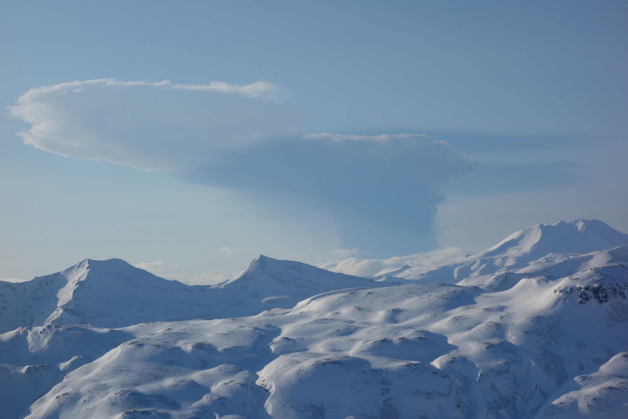
Plume from Bogoslof on February 19, 2017, seen from Unalaska Island, 53 miles east-southeast of the volcano. This photo, captured from a helicopter during fieldwork by the Alaska Volcano Observatory, was taken 14 minutes after this particular explosive event began. Credit: Janet Schaefer and the Alaska Volcano Observatory / Alaska Division of Geological & Geophysical Surveys
Alka Tripathy-Lang is a freelance science writer based in Chandler, Arizona, and holds a Ph.D. in geoscience.
Latest posts by Alka Tripathy-Lang, Ph.D. (see all)
- Living through the Loma Prieta earthquake - October 21, 2021
- The Great Quake Debate: an interview with seismologist and author Susan Hough - August 27, 2020
- Salton Sea Swarm quiets down - August 12, 2020