By David Jacobson, Temblor
Click here to protect yourself from natural disasters

The East African Rift Valley is one of the most famous geologic regions on earth. Stretching for over 3,000 km from the Gulf of Aden in the north to Mozambique in the south, it marks where the African continent is being split into the Somali and Nubian plates. Scientists estimate that within 10 million years, the Somali plate will break off from the rest of Africa and a new ocean basin will form. Even though this is an extremely slow process, every once in a while, new crevices appear, highlighting the power of earth’s tectonic forces. Only recently, near the small town of Mai Mahiu, just west of Kenya’s capital of Nairobi, a large crack, 50 feet deep and 65 feet wide appeared, damaging a major road, and several houses.
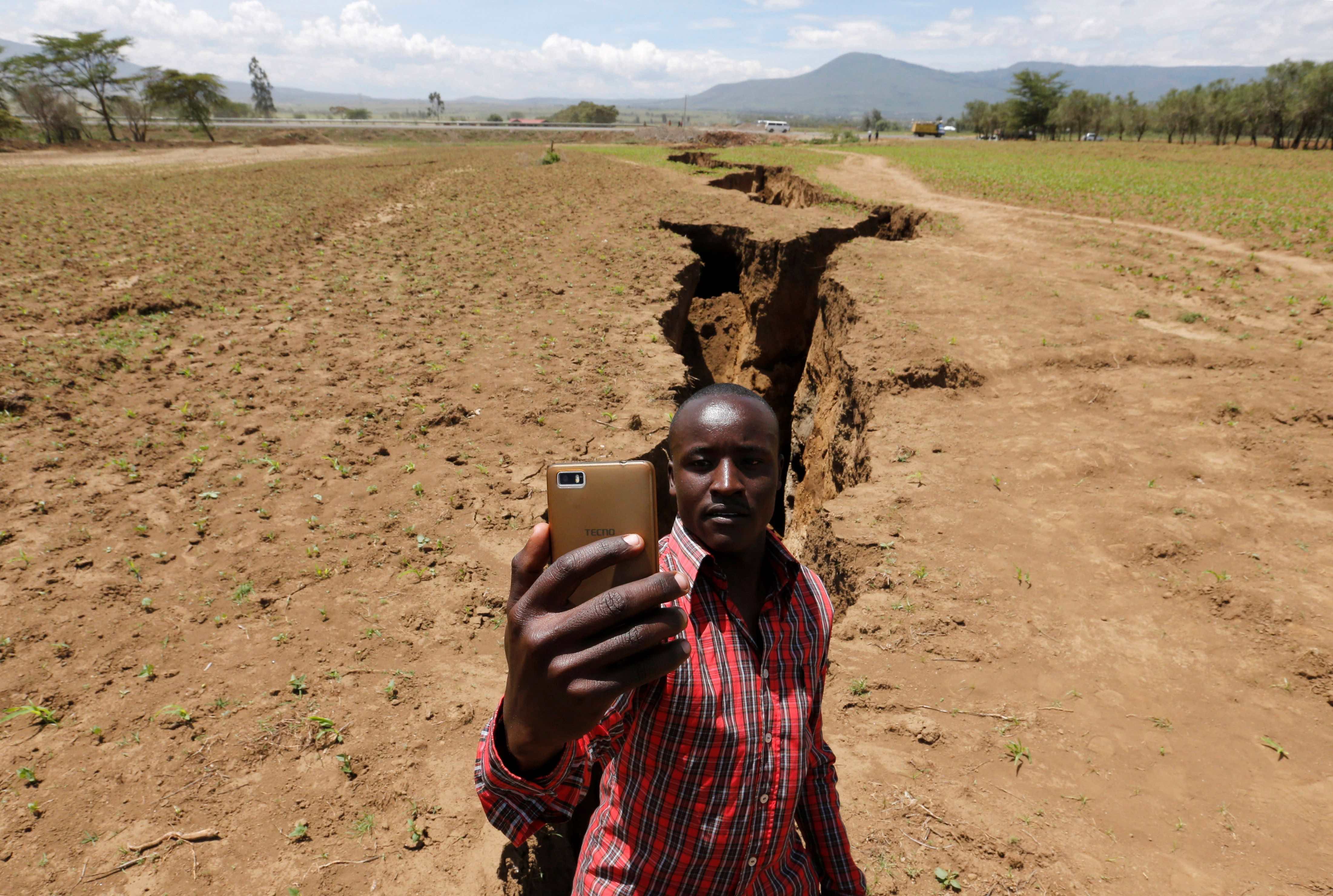
This crack did not form overnight, but it did appear in a matter of moments
A crack of this magnitude does not form overnight. The rifting process in East Africa is taking place at a rate of approximately 0.25 inches per year, or in other words, unnoticeable to most. We also know from aerial imagery that this feature was present prior to this massive unveiling. In the Google Earth image below, a large linear feature, perfectly matching the orientation of the crack in the photo above, is clearly visible cutting across the landscape. So, what happened to make the crack appear all of a sudden? The answer is simple: rain.

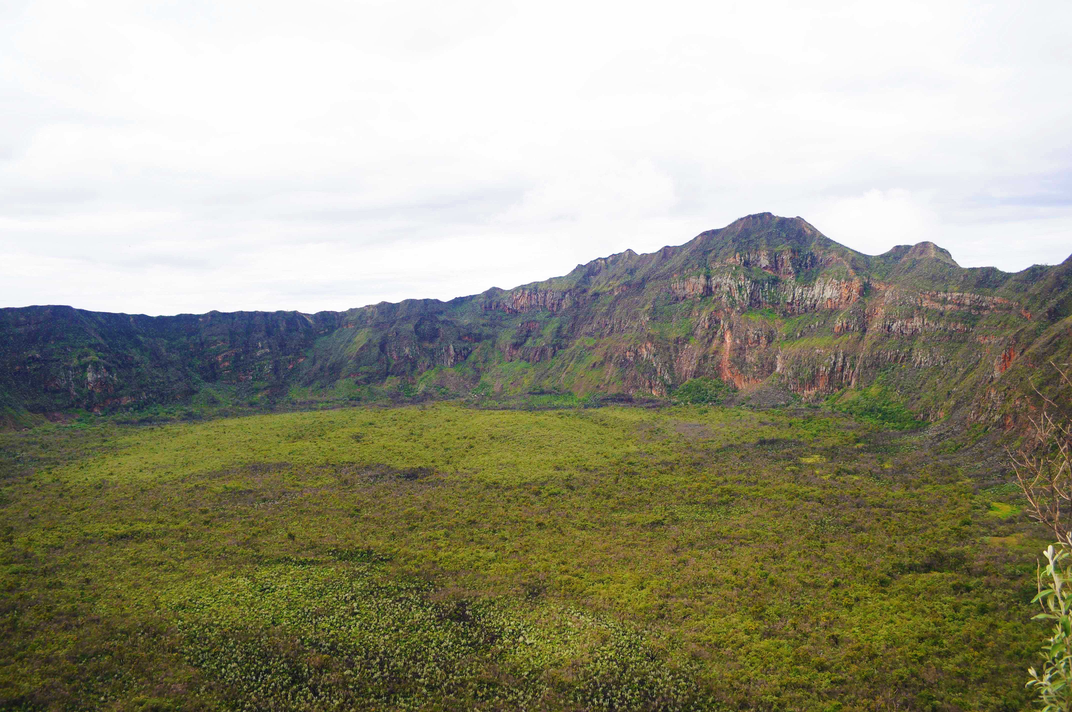
Over the last month, Kenya has experienced heavy rainfall, which has resulted in extensive flooding across much of East Africa. While flooding alone would not do this, much of the soil has volcanic ash from nearby Mt. Longonot (see below). Volcanic ash can be easily washed away, meaning when heavy rain came, the water followed the path of least resistance, revealing this crevice. According to reports from National Geographic, at least one resident narrowly escaped his house before it collapsed. For the time being, local news outlets are reporting that the crack is being filled in with concrete and rocks, as the Mai Mahiu-Narok road is a major transportation route in Kenya.
The video below, shows the major crack which has only recently appeared
Why is Africa Rifting?
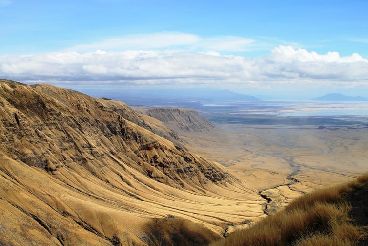
Earth’s tectonic plates are constantly in motion. As these plates move, they can slide next one another, like the San Andreas Fault, collide with one another forming mountain ranges like the Himalayas, or move apart from each other, which is what is happening in East Africa. As the Somali plate slowly separates from the Nubian plate, the earth’s crust gets thinner. Even though this process is slow, eventually the crust gets too thin and ruptures, creating a rift valley. This is the first step in the continental breakup process. The figure below shows these plate boundaries in East Africa and highlight where Africa is breaking apart, illustrating where a new ocean basin may form. While we will not be around to see that, we can bear witness to some of the initial stages.

References
The Conversation
PBS
National Geographic
Quartz
Daily Nation
- Beware quiet segments of the Philippine Fault - May 16, 2025
-
ډیری عوامل افغاني ټولنې د زلزلې پر وړاندې زیانمنوي
- August 11, 2022 - What’s happening this week in Humboldt County, California: The squeeze - February 6, 2019