How close is Iceland’s Grindavík to a volcanic eruption? Read the latest developments here.
By Melissa Scruggs, Ph.D., Science Writer (@VolcanoDoc)
Citation: Scruggs, Melissa A., 2023, Iceland’s ground swells as volcanic eruption looms near Grindavík, Temblor, http://doi.org/10.32858/temblor.327
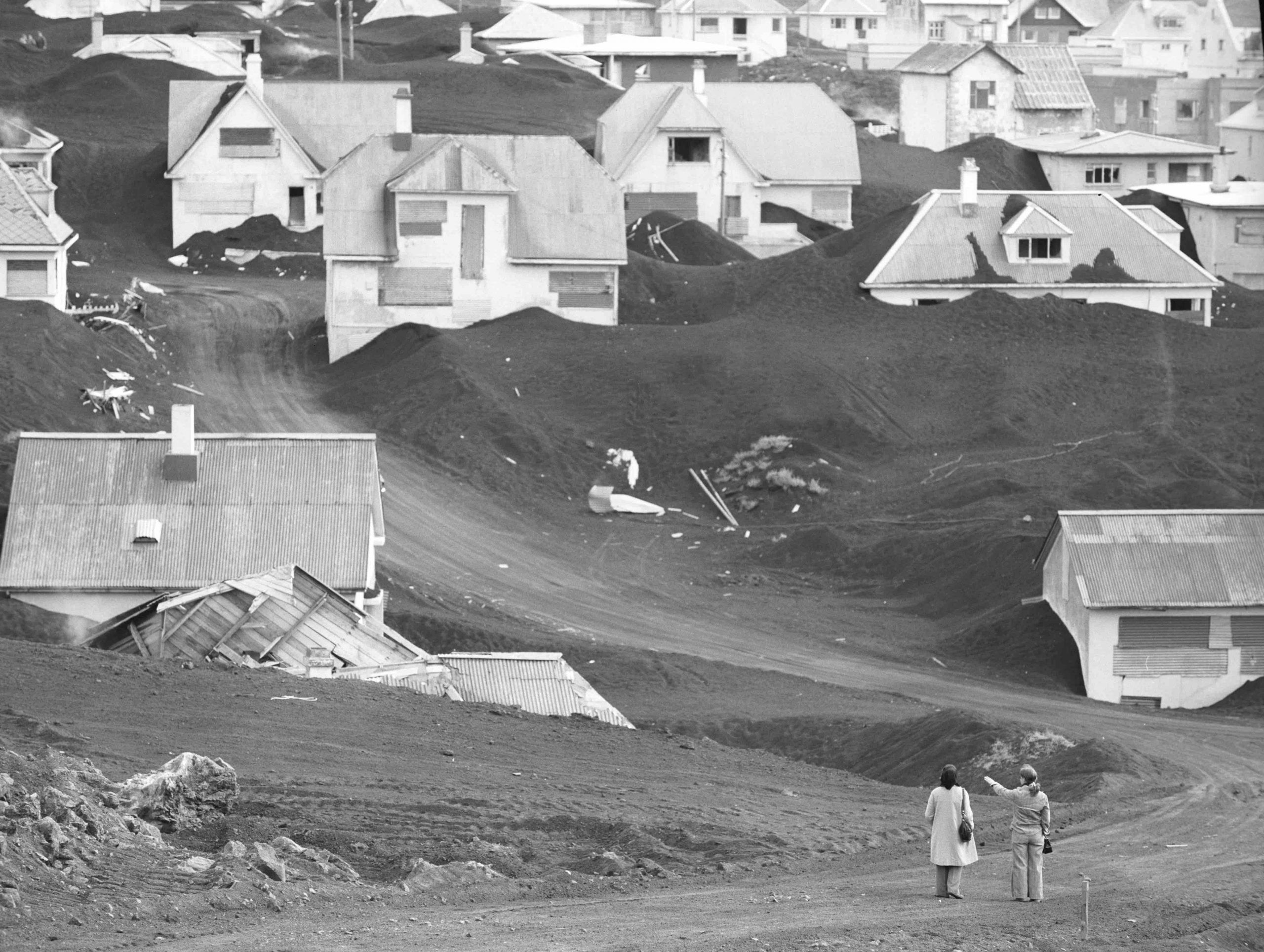
A tunnel-like body of magma coursing under a city, threatening to erupt, might invoke thoughts of the 1997 action movie “Volcano,” but over the past few days this concept has become a real scenario for some residents of the Reykjanes Peninsula in southwestern Iceland. What began as a series of earthquakes last month escalated dramatically when a large body of magma moved rapidly toward Earth’s surface. As of Nov. 15, the fishing village of Grindavík has been evacuated. Steam from broken hot water pipes rises from giant cracks that cut through the city. The approximately 3,500 residents and their animals, scientists, and officials wait for the volcano to make its next move.

In the rest of this article, we uncover the escalating volcanic threat in Iceland, the potential impacts from an eruption, and how scientists and officials are responding.
A unique tectonic setting provides near-constant volcanism
Iceland is the site of 32 active volcanoes, and usually experiences a volcanic eruption every four years or so. Its frequent volcanic activity results from its distinctive geological setting: The island sits atop a mantle plume, which is a particularly hot and buoyant bit of Earth’s mantle that rises toward the surface, forming magma that feeds volcanoes. And the mantle plume interacts with a tectonic boundary between North America and Eurasia called the Mid-Atlantic Ridge, where these plates are slowly being pulled apart and buoyant mantle rock rises and fills the newly created space. High pressure at depth keeps the mantle solid, but closer to the surface where the pressure is lower, the mantle melts to form liquid hot magma that travels upward through the crust, erupting as fountains of molten lava from long, linear fissures.

Understanding this latest geological activity
Intense earthquake swarms 3 miles (5 kilometers) underground began on the Reykjanes Peninsula near Mt. Þorbjörn on Oct. 25, 2023. More than 7,000 earthquakes occurred over the next few days. And on Oct. 27, just under a mile (1.5 kilometers) northwest of Mt. Þorbjörn, the ground began rising, or inflating, as a horizontal body of magma called a sill emplaced itself about 2.5 miles (4 kilometers) below the surface.
After a few days of slowing inflation, uplift at Mt. Þorbjörn again started to increase steadily by midday on Nov. 3. Almost nine hot tubs’ worth of magma surged into the sill every minute (5 ± 2 m3/s), increasing the pressure on the rock around it and causing about 1,000 earthquakes a day; the largest earthquake to date was a magnitude-4.8 event on Nov. 9. The surrounding rock gave way on the morning of Nov. 10 when a migrating seismic swarm signaled that the magma was moving to an old fissure system known as Sundhnúkur Craters, located about 1.5 miles (2 to 3 kilometers) north of Grindavík (Jenness & Clifton, 2009). By that evening, the sheetlike, vertically inclined magma body — now called a dike — cut through many rock layers to just under 2 miles (about 3 kilometers) below the surface. The prospect of an eruption quickly became more likely.
During the late evening hours, the magma body began to expand to the north and to the south, reaching a maximum length of about 9.3 miles (15 kilometers) and extending into the sea southwest of Grindavík. The likelihood of an eruption was deemed considerable, and officials began evacuating Grindavík shortly before midnight on Nov. 10. By the following evening, scientists had determined that the shallowest part of the dike was only about one half of a mile (800 meters) below the surface, that the dike contained approximately 70 million cubic meters of magma, and that it was located about three kilometers (1.9 miles) northeast of the village. And, as a result of the sill emptying into the dike, the ground underneath the western side of Grindavík had sunk more than 4 feet (1.4 meters), causing large cracks and collapsed depressions across much of town and the surrounding area.
Since the morning of Nov. 11, ground movement has slowed, and the frequency and intensity of earthquakes has been decreasing. Earthquakes are mostly focused near the lower parts of the dike at between 1 and 3 miles (2 to 5 kilometers) depth, and are located a few miles northeast of Grindavík near Sundhnúkur Craters. All roads to and surrounding Grindavík have been closed, and the main route severely damaged. Residents have been escorted to their homes and given small windows of time to retrieve their animals and most precious belongings. Minor damage has been sustained at the Svartsengi Power Station. The Blue Lagoon — one of the most popular tourist destinations in Iceland — has been closed for the public’s safety until at least Nov. 30. On Monday night, Iceland’s Parliament passed a bill that funds construction of large native stone barriers at strategic locations to protect the Power Station and other at-risk infrastructure.

In response to this event, scientists have increased the number of monitoring instruments near the magma body to better capture any signals that could indicate an imminent eruption. This includes cutting-edge fiber optic seismic sensors and additional GPS instruments whose data indicate, as of this writing, that magma continues to flow into the dike. Gas monitoring instruments were also installed close to Grindavík, which detected sulfur dioxide gas at the newly formed depression early this week, resulting in the swift evacuation of escorted residents and first responders away from the town due to risk: Increases in sulfur dioxide sometimes precede eruptions. As of this morning (Nov. 15), instruments are still measuring elevated levels of sulfur dioxide, and there remains the possibility of an eruption.
According to Lexi Kenis, a doctoral student and research assistant in the Volatiles Lab at the University of New Mexico, a sulfur dioxide signal does not always mean magma is moving upward. Sometimes, “increased seismicity can… shake loose some gases from a melt like shaking a soda can before opening [it],” Kenis says. Another explanation could be that the instruments are having trouble getting a clear signal. The gas instruments require low humidity and direct sunlight to work properly, both of which are in short supply during Icelandic winters, Kenis explains. However, sulfur dioxide can usually be detected when a magma is shallower than about 0.1 miles (200 meters), and so an eruption remains a distinct possibility, she says.
What is the current risk?
Just like everything else, magma seeks the path of least resistance. It exploits weaknesses in the Earth’s crust and will often follow the same paths used in previous eruptions. That earthquake activity and ground deformation has not renewed is certainly good news. There is the hopeful possibility that the magma will never reach the surface, but there is also a very real possibility that an eruption will occur, potentially in or adjacent to Grindavík. If an eruption in or near town does occur, it would likely resemble the 1973 eruption of Eldfell volcano that buried the Icelandic town of Heimaey, located on an island a short distance north of Surtsey. Similar to Grindavik, Heimaey was evacuated, with only a few people staying behind to try and protect the town. By the time Eldfell finished erupting in July, about one-half of Heimaey had been buried by ashfall and lava flows.
A third possibility would be an eruption occurring farther north, potentially placing Grindavik at risk of lava flowing downhill, toward the town. Grindavik is built on top of lavas that erupted from Sundhnúkur Craters around 342 BCE (2350 ± 90 years before present; Jenness & Clifton, 2009), so it could still be impacted by an eruption along the more northerly parts of this fissure. More populated areas like Reykjavik could be impacted by damage to the Svartsengi Power Station, as it provides most of the electricity and heat for the Reykjanes Peninsula.
Even with the increased monitoring equipment, there still remains no way to predict the timing, location, magnitude and duration of a volcanic eruption (or earthquake). Elevated sulfur dioxide levels, like the ones detected, “[are] sometimes used to ‘predict’ an eruption, but really only indicate that [magma] is rising or stalled near the surface,” Kenis says. Although the gas detection instruments cannot be used to determine the precise time an eruption will begin, it is important to remember that they still generate incredibly valuable data. As volcano scientists, all we can do is make accurate observations with the tools we have, compare them to good scientific results in a timely manner, and do our very best to keep people safe.
References
Almannavarnir. (2023, November 14). For security reasons Grindavik is being evacuated [Facebook status update]. Retrieved from https://www.facebook.com/Almannavarnir/posts/pfbid02wDJZY9VkMYJ6AncAXDmxmZQuWgh5Sg2pWkgEBmYzkDCBsYraHAfYr3ZUjgAvMLwnl
AlÞingi. (2023, November 14). Protection of important infrastructure on the Reykjanes Peninsula: Issue 485, Bill 154th Legislative Session 2023–2024. Retrieved November 14, 2023, from https://www.althingi.is/altext/154/s/0534.html
Blue Lagoon. (n.d.). Seismic activity at the Blue Lagoon. Retrieved November 14, 2023, from https://www.bluelagoon.com/seismic-activity
Iceland Meteorological Office. (2023, November 14). Vertical displacements measured using SAR satellite imagery. Retrieved November 14, 2023, from https://en.vedur.is/about-imo/news/a-seismic-swarm-started-north-of-grindavik-last-night.
Jenness, Maria H. & Clifton, Amy E. (2009) Controls on the geometry of a Holocene crater row: a field study from southwest Iceland. Bulletin of Volcanology, 71, p. 715-728. DOI: 10.1007/s00445-009-0267-9
Thordarson, Thor. Interview with Thor Thordarson. YouTube, uploaded by Val Troll, November 10, 2023, https://www.youtube.com/watch?v=mKv9-ySGTLg.
Further reading
Much of the information provided in this article was reported by the Icelandic Meteorological Office. For further and official information on this eruption, please visit https://en.vedur.is/
The below webcams have been set up around the Grindavik area in anticipation of an eruption:
https://www.youtube.com/watch?v=Qvw5qh5K4wI
https://www.youtube.com/watch?v=HJWj-1RIIgM
https://www.youtube.com/watch?v=PasUycyE96o
Copyright
Text © 2023 Temblor. CC BY-NC-ND 4.0
We publish our work — articles and maps made by Temblor — under a Creative Commons Attribution-NonCommercial-NoDerivatives 4.0 International (CC BY-NC-ND 4.0) license.
For more information, please see our Republishing Guidelines or reach out to news@temblor.net with any questions.
- Iceland’s ground swells as volcanic eruption looms near Grindavík - November 16, 2023
- TallWood Project tests earthquake-resistant structure - May 9, 2023