By studying sedimentary layers beneath a lake in Indonesia, researchers developed a new technique that can date earthquake doublets within the hour.
By Lauren Koenig, Ph.D., Science Writer (@Lauren_A_Koenig)
Reporting by Stephanie Suarez (@geologiststephy)
Citation: Koenig, L., 2021, X-rays can reveal massive, ancient two-for-one earthquakes, Temblor, http://doi.org/10.32858/temblor.228
Resolving the details of prehistoric earthquakes is a notoriously difficult task, involving piecing together the zigs and zags of sedimentary layers and other lingering clues offset in their wake. But evidence of these ancient disruptions may actually have been caused by earthquake doublets – two earthquakes with similarly high magnitudes that rupture nearby faults within a few hours of one another – and there is now a way to prove it.
In a study presented at the American Geophysical Union’s fall meeting last week, researchers describe a new technique to illuminate the paleoseismic record concealed beneath the murky waters of natural lakes. The methodology is based on analyzing the flow direction of turbidites, which are layers of sand and mud formed by underwater landslides. The study’s lead author, Katleen Wils, a postdoctoral fellow at Ghent University, and her colleagues identified the imprint left behind in the sediment when two consecutive earthquakes — like a heartbeat — pulsed and churned a natural lake in Indonesia.
Surveying Sumatra
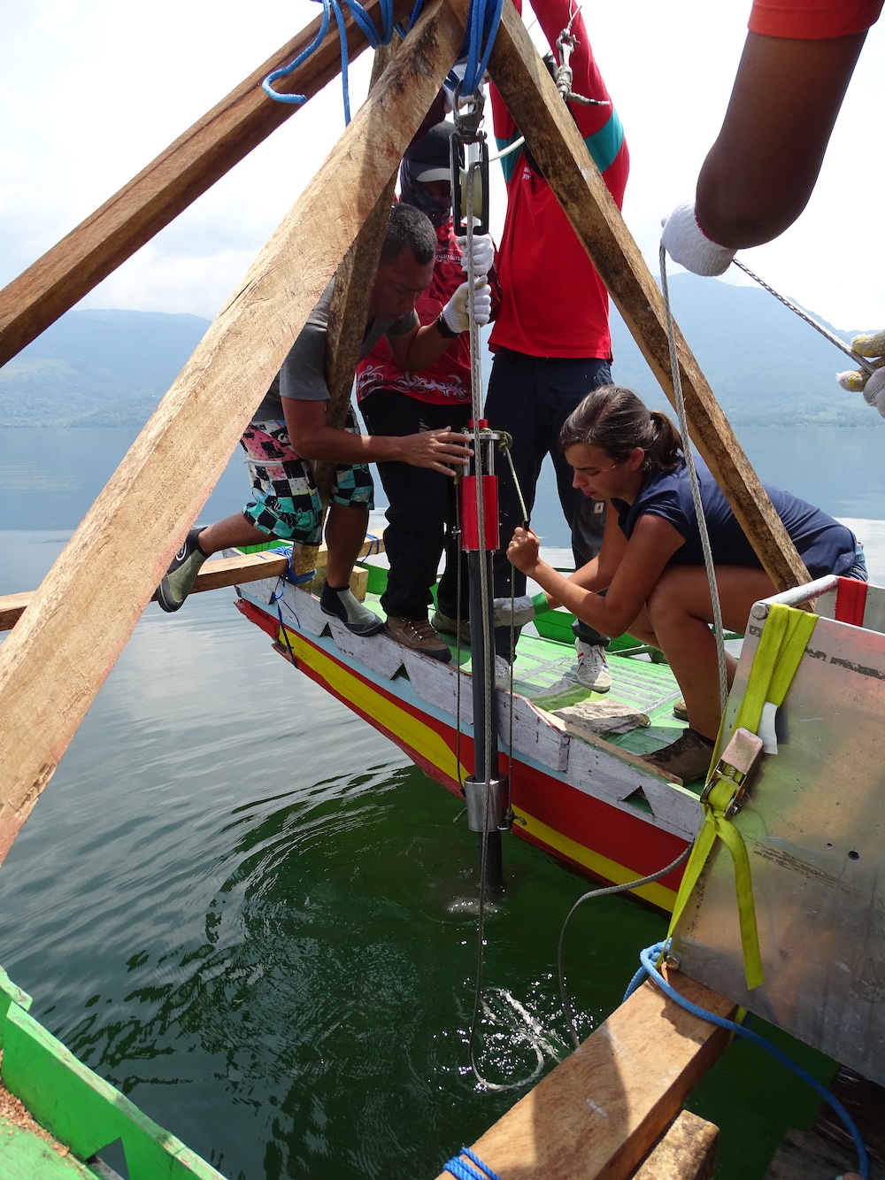
Wils’ new findings were born from a field expedition to Sumatra, Indonesia. The island is located along the Sunda megathrust, where the Indo-Australian tectonic plate dives beneath the Eurasian plate in one of the most active seismic zones in the world.
The research team chose Lake Singkarak — located in the crater of a volcano — as their testing grounds. Surrounded by stunning mountain views, the stretch of sapphire water rests atop the Sumatran fault. On either side of the lake lie the Sumani and Sianok segments, which caused magnitude-6.4 and magnitude-6.3 earthquakes to occur within two hours of one another in 2007. Because this event was confirmed to be a doublet at the time, Wils and her colleagues collected four cores from the lake and found a turbidite that could reveal what doublets look like in the sedimentary record.

How turbidites record the past
The submerged slides of water and sediment that create turbidites, like the one Wils found in Lake Singkarak, are often triggered by an earthquake during a process called slope failure. As the motion subsides, denser and coarser grains sink from the current first, leaving finer grains and clay to alight atop the mass. The muddy material deposited between turbidites serves as a record of the amount of time between successive quakes.

But when an earthquake doublet disturbs a lake, it does not result in separate turbidites. Instead, a single turbidite is made from multiple “pulses” to the coarse-grained lakebed. Because of the time-lag between the individual currents triggered by each earthquake, a distinct pattern forms: instead of settling into the normally graded “coarse-to-fine” deposit, the sediments are shaped into “coarse-fine-coarse-fine-clay” striations, like a hastily assembled layer cake. Finding evidence of multiple pulses closely offset in time that originated from the same area (as verified by flow direction indicators in the turbidites) are key for matching a particular turbidite to an earthquake doublet.
Resolving grainy vision
When Wils and her team began to analyze the turbidite from Lake Singkarak, they encountered an apparent paradox: they needed to examine the positions of the sedimentary grains at high resolution but moving the grains out of the core to do so would irreparably disturb their orientation.
“The problem is that these lakes are mostly made of fine grains, and to see what’s going on you have to basically use a microscope without destroying the original alignment of grains,” says Wils.
So Wils turned to high-resolution X-ray computed tomography — a CT scan, similar to what you might get for a complex bone fracture, except for rocks and sediment — as a means of keeping the sample intact while viewing it with astounding clarity.
“The grains you can distinguish with certainty at this resolution are about 100 micrometers, or even less in size,” says Wils. “You can really look into detail at each individual grain that’s in this deposit.”
Because sedimentary grains tend to align in the same direction in a flow, Wils could use information about paleomagnetism and grain size to match the original slope failure to the location of the faults surrounding the lake. The last step was to confirm what she saw with the known timing of the individual earthquakes.
“In this case, because the events happened in 2007, they know exactly what happened and it’s a very nice proof-of-concept,” says Belle Philibosian, a research geologist at the U.S. Geological Survey who was not involved in this study. “You can actually distinguish events on the order of hours, which is just phenomenal.”
New tools for old problems
Paleoseismic researchers often rely on one of two classical techniques to date prehistoric earthquakes. Some measure landscape features, like small streams or gullies, that can exhibit a similarly sized offset if they were both shifted by the same earthquake. Others dig trenches into the earth and examine the walls for patterns of sedimentary disruption caused by earthquakes across different time scales. But ordinarily, these techniques cannot distinguish between events spaced hours — or even a decade — apart, says Philibosian.
X-raying turbidites provides another tool to tackle this problem from multiple angles. “The real power of the turbidites is giving you that very fine time resolution,” says Philibosian. “We could go back and look at turbidite records of pre-historical earthquakes where we don’t know the sequence of events, and then combine that with paleoseismic trenching or other types of studies to build a picture of what happened.”
Double trouble
Because this is the first time researchers have detected distinctive imprints left by an earthquake doublet, scientists can now better characterize the seismic hazard of a particular place prone to such dual events – even if it has not experienced extensive seismic activity since detailed records became available.
Knowing that a second earthquake is likely to strike on the heels of the first is also essential for public safety and government planning.
“If we see these duplex events are a regular pattern, we can start educating people, saying ‘okay, if you feel an earthquake, be prepared for a second one,’” says Wils. “Because when people start going back to their home and collecting things after an earthquake, that’s actually more dangerous. There might be a second shock just a few hours later.”
Further Reading
Cnudde, V., & Boone, M. N. (2013). High-resolution X-ray computed tomography in geosciences: A review of the current technology and applications. Earth-Science Reviews, 123, 1-17.
Libretexts. (2020, June 3). Turbidites. Geosciences LibreTexts. Retrieved December 17, 2021, from https://geo.libretexts.org/Courses/University_of_California_Davis/GEL_109%3A_Sediments_and_Strata_(Sumner)/Textbook_Construction/Turbidites
Wald, L., & Scharer, K. (n.d.). Introduction to paleoseismology. Introduction to Paleoseismology. Retrieved December 17, 2021, from https://www.usgs.gov/programs/earthquake-hazards/introduction-paleoseismology
Wils, K., Daryono, M. R., Praet, N., Santoso, A. B., Dianto, A., Schmidt, S., … & De Batist, M. (2021). The sediments of Lake Singkarak and Lake Maninjau in West Sumatra reveal their earthquake, volcanic and rainfall history. Sedimentary Geology, 416, 105863.
Wils, K., Deprez, M., Kissel, C., Vervoort, M., Van Daele, M., Daryono, M. R., … & De Batist, M. (2021). Earthquake doublet revealed by multiple pulses in lacustrine seismo-turbidites. Geology, 49(11), 1301-1306.
- Venezuela’s doublet leaned toward Caracas - June 30, 2026
- Is Southern California’s Cajon Pass an ‘earthquake gate’ ready to open? - June 29, 2026
- Philippines magnitude 7.8 shock may have loaded the central Cotabato subduction zone - June 11, 2026