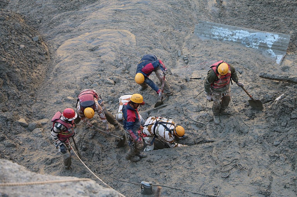
On February 7, a massive avalanche of ice and rock caused widespread devastation at Chamoli in the mountains of northern India, killing more than 200 people.
By Meghomita Das, Department of Earth & Planetary Sciences, McGill University, Montreal, Canada (@meghomita)
Citation: Das, M., 2021, Scientists unravel India’s 2021 Chamoli disaster, Temblor, http://doi.org/10.32858/temblor.188
At 10:21 a.m. local time on February 7, 2021, about 27 million cubic meters of rock and ice, equivalent to more than 10,000 Olympic-sized pools, descended down the Ronti Valley in the northern Indian Himalaya. This massive volume of rock and ice destroyed two hydropower plants located 15 and 26 kilometers (9 and 16 mile) from the source and left more than 200 people either dead or missing. Such high-elevation landslides are common in the Himalaya. However, because of unusually high water content, the incredibly fast, energetic jumble of rock flowed downstream, destroying the hydropower plants not built to withstand such hazards.

In a study recently published in Science, led by geomorphologist Dan Shugar of the University of Calgary, a multidisciplinary group of scientists employed a host of methods to unravel the cause of the massive flow and explore what such disasters mean for infrastructure projects in hazard-prone mountainous regions. They found that a huge vertical fall from Ronti Peak, a perfect ratio of rock to ice, and the existence of the downstream hydropower plants coalesced to create this disaster.
Reconstructing the fall
By examining satellite images from the source region collected between 2015 and 2021, the team identified a crack on Ronti Peak that began to widen as far back as 2018. Satellite data also allowed researchers to calculate the volume of ice and rock that detached from the steep slope, explains Shashank Bhushan, a doctoral student at the University of Washington and co-author of the Science study. He and his colleagues determined that about 20 percent of the collapsed mass was glacier ice.

The mass plummeted from an elevation of 5,500 meters (18,000 feet) to 1,800 meters (5,900 feet). To calculate the speed of the fall, the team relied on distant seismic stations, which recorded the vibrations produced when the rock detached from the peak and when it hit the valley floor, 58 seconds later. The mass rushed down the slope at speeds between 205 and 216 kilometers per hour (127-134 miles per hour). Once it hit the valley floor, frictional heat caused the ice to melt, lubricating the mixture, which began to flow downstream. Geotagged, time-stamped eyewitness videos posted to social media helped the team trace the path of the flow as it barreled toward the hydropower plants, demolishing everything in its way.
Cascading hazards
Though Shugar’s team explored the role of weather patterns for the Chamoli disaster, they could not directly link it to climate change. They did, however, note that climate change exacerbates the melting of glaciers, increasing the probability for such catastrophic events. Previous work demonstrated that removing glaciers exposes long-hidden mountain slopes. Within cracks of fractured bedrock, ice becomes exposed to temperature changes that weaken host rock. Together, steep slopes, fractured and weathered rocks, and earthquake activity renders intervening valleys prone to huge mass movements like rock-rich landslides, snow-filled avalanches, and even flash floods. For example, in 2013, a massive cloudburst caused a glacial lake to burst, leading to the death of 4,000 people in the Kedarnath region of the Indian Himalaya, northwest of Chamoli.

Given the huge population of India and the location of densely populated cities and towns along the range front, developmental activities such as hydroelectric projects high in the mountain valleys cater to the nation’s energy needs. Although authorities try to develop such projects in places that seem relatively immune from isolated events such as landslides and avalanches, says Bhushan, the Chamoli disaster has proved that certain cascading hazards can still wreak havoc farther downstream than expected.
In disentangling the Chamoli disaster, Shugar’s team pointed out how numerous videos documented the scant warning for those in the path of the flow. This intersection between human activities, changing climate patterns and geohazards must drive the development of monitoring systems, public safety announcements, emergency drills, and other mitigation measures in such areas to help reduce the human toll in the next event. And there will be a next one.
“This is certainly not the first of these types of events, but it is an important data point,” says Marten Geertsema, a landslide expert and professor at the University of Northern British Columbia who was not involved with this study. “It shows that a rockslide can turn into something far more dangerous and affect people very far downstream from the source area.”
References
Allen, S. K., Rastner, P., Arora, M., Huggel, C., & Stoffel, M. (2016). Lake outburst and debris flow disaster at Kedarnath, June 2013: hydrometeorological triggering and topographic predisposition. Landslides, 13(6), 1479-1491.
Shugar, D. H., Jacquemart, M., Shean, D., Bhushan, S., Upadhyay, K., Sattar, A., … & Westoby, M. J. (2021). A massive rock and ice avalanche caused the 2021 disaster at Chamoli, Indian Himalaya. Science.
- Venezuela’s doublet leaned toward Caracas - June 30, 2026
- Is Southern California’s Cajon Pass an ‘earthquake gate’ ready to open? - June 29, 2026
- Philippines magnitude 7.8 shock may have loaded the central Cotabato subduction zone - June 11, 2026