
By David Jacobson, Temblor

Fire season ignites
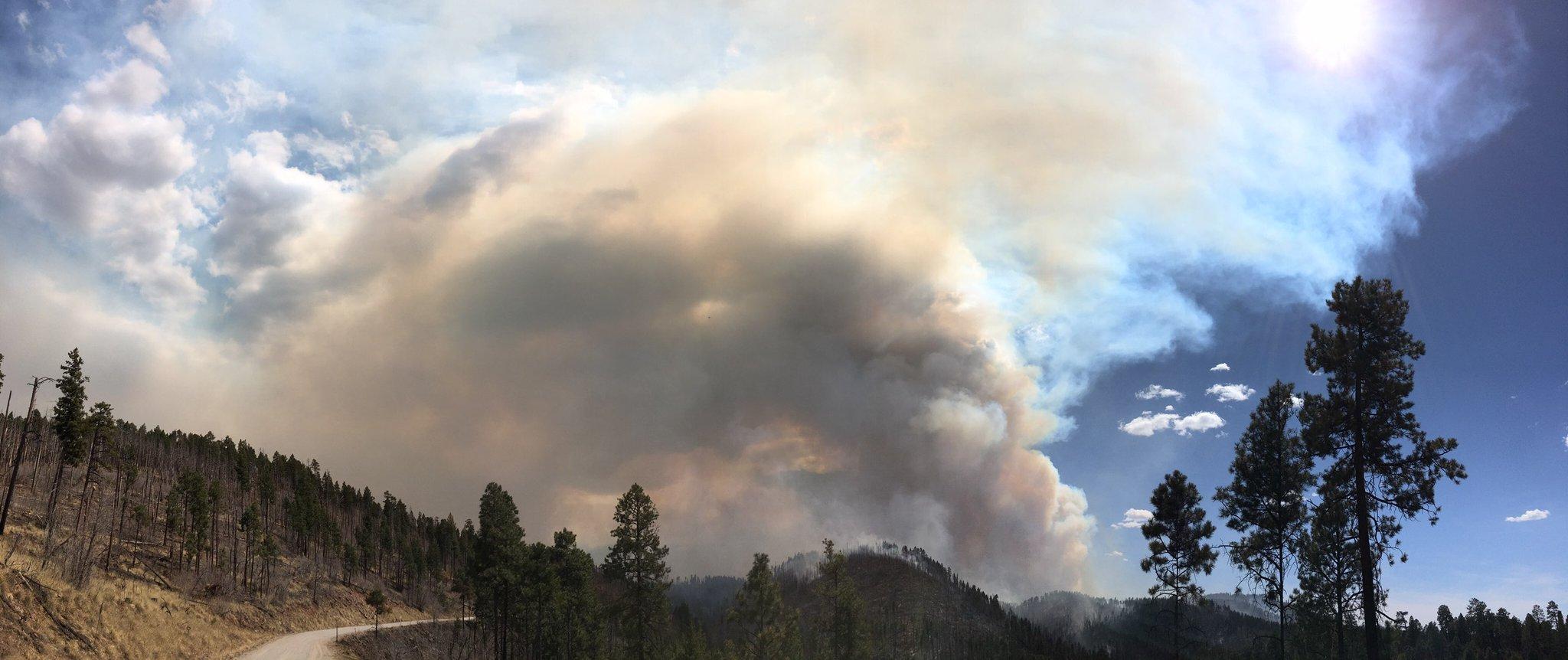
For Western states, May is often considered the unofficial start of fire season. Unfortunately, in some parts of the country, fires have already been raging for weeks due to less than expected rainfall over the winter. One of these places is Arizona, where two fires have burned more than 37,000 acres, and prompted the governor to declare a state of emergency in one case. Because of the threat to life and property these fire pose, we thought we’d examine these infernos.

In north central Arizona, the Tinder Fire has consumed more than 11,000 acres, and burned approximately 30 structures. At this stage, the fire is 0% contained, and has forced the evacuation of 600 residents from 1,000 homes in the impacted area around Happy Jack. Because of the growing threat, Arizona Governor Doug Ducey declared a state of emergency to free up funds to fight the fire. Unfortunately, because of high (20-30 mph) winds in the area, it is expected that the fire will continue to grow, and firefighters will have a tough time containing the blaze. The figure below shows the fire suppression difficulty rating from the West Wide Wildfire Risk Assessment in the area of the Tinder Fire.

What the above map highlights is how much weather plays a role in how well a fire can be contained. While the Tinder Fire has spread across areas where suppression is difficult, often due to steep slopes, it has also swept across areas that, under normal conditions, would not be difficult to contain. However, in addition to the high winds, parts of Arizona saw as little as 11 millimeters (0.44 inches) of rain over the winter. Therefore, once a spark ignited, it was hard to contain. The map below shows the average fire threat in this area. Once again, it has spread across areas of varying threat, which are likely higher than average given the current conditions.

Over 26,000 acres burned in eastern Arizona
The other fire that is spreading across Arizona, is the Rattlesnake Fire, approximately 110 miles east of Phoenix. Even though this fire is substantially larger (26,000 acres) than the Tinder Fire, it is burning through two Indian reservations and national forest and has therefore not had a great impact on people. At this stage, the fire is 63% contained no evacuations have taken place, and no one is in immediate danger. However, the fire is close to Highway 191 so actions have been taken to mitigate the fire’s impact.
While the Tinder Fire has spread across areas with varying threat, the Rattlesnake Fire has moved predominantly through a region with a very high threat (see below). This is likely due to steep slopes, as well as abundant surface fuels. These steep slopes also hinder suppression.


Recognize your fire risk
What both of these fires show is that given the right conditions, fires can spread across areas with different threat levels and varying degrees of suppression difficulty. It is important to recognize where your home is in relation to surface fuels that could burn. By doing this, you can take measures to protect you, your family, and your property.
Moving forward into fire season, it can also be helpful to identify if you live in a region where there is significant wildland fire potential. While the maps above show average threat and suppression difficulty, the National Interagency Fire Center publishes maps highlighting areas of increased risk. The map below shows these areas for the month of May. Therefore, if you live in one of these zones, it may be in your best interest to assess if there are ways you could reduce your fire risk.

References
West Wide Wildfire Risk Assessment
InciWeb
National Interagency Fire Center
CNN
US News
ABC News
- Earthquake science illuminates landslide behavior - June 13, 2025
- Destruction and Transformation: Lessons learned from the 2015 Gorkha, Nepal, earthquake - April 25, 2025
- Knock, knock, knocking on your door – the Julian earthquake in southern California issues reminder to be prepared - April 24, 2025