26 February 2016 | Quake Insights
Today’s earthquake was strongly felt in Jackson, WY. It is a strike-slip event with the center of the rupture at a depth of about 14 km (9 mi). It struck in a region that has been seismically active for the past 20 years, with a seismicity alignment that hints at a blind right-lateral fault striking NW-SE, which would be consistent with the focal mechanism of today’s quake.

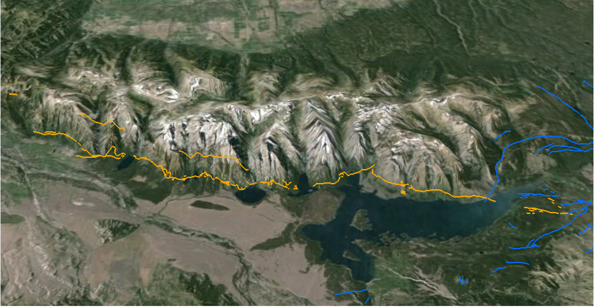
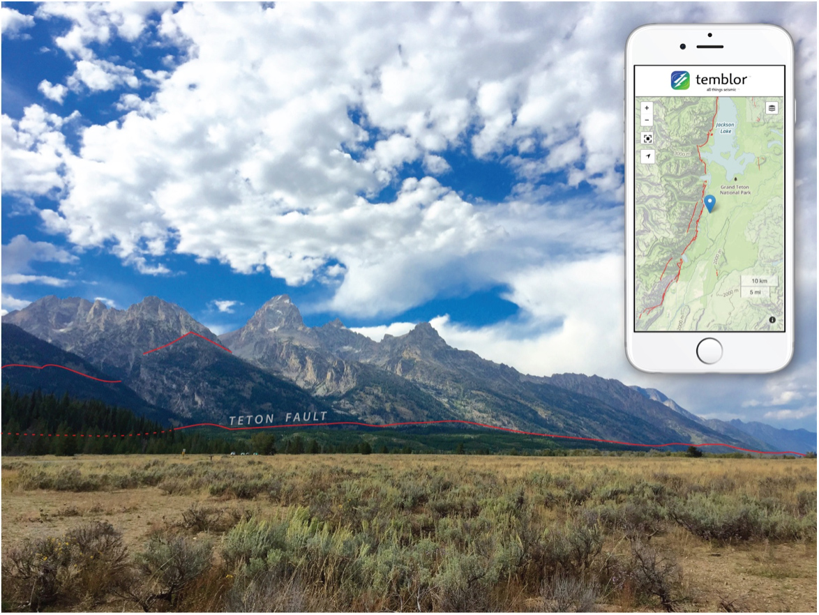
The Teton fault is the product of Basin & Range stretching, creating ‘normal’ (tensional) faults. Its spectacular post-glacial scarps are present along the entire fault trace, and can be seen from the valley floor owing to their large height. The post-glacial (meaning, less than 15,000 year old) fault offset is as much as 100 ft (30 m) along the middle part of the range, but diminishes to the north and south, mimicking the overall height of the Teton ranges. Although quite active in the latest Quaternary, the fault has been seismically quiet in historic time. Its estimated slip rate is 1-5 mm/yr.

Ross Stein & Volkan Sevilgen, Temblor, Inc.
Data: University of Utah Seismographic Stations, USGS Jackson Hole Seismic Network; Hampel, A., Hetzel, R., Densmore, A.L., 2007, Postglacial slip-rate increase on the Teton normal fault, northern Basin and Range Province…, Geology, 35, doi: 10.1130/G24093A.1; Byrd, J.O.D., Smith, Robert B., and Geissman, John W., 1994, The Teton fault, Wyoming—Topographic signature, neotectonics, and mechanisms of deformation: J. Geophys. Res., 99, no. B10, p. 20,095–20,122.
You can check your seismic risk at temblor.net
- Earthquake science illuminates landslide behavior - June 13, 2025
- Destruction and Transformation: Lessons learned from the 2015 Gorkha, Nepal, earthquake - April 25, 2025
- Knock, knock, knocking on your door – the Julian earthquake in southern California issues reminder to be prepared - April 24, 2025