Shanna Chu, Department of Geophysics, Stanford University
See if you are in a flood zone
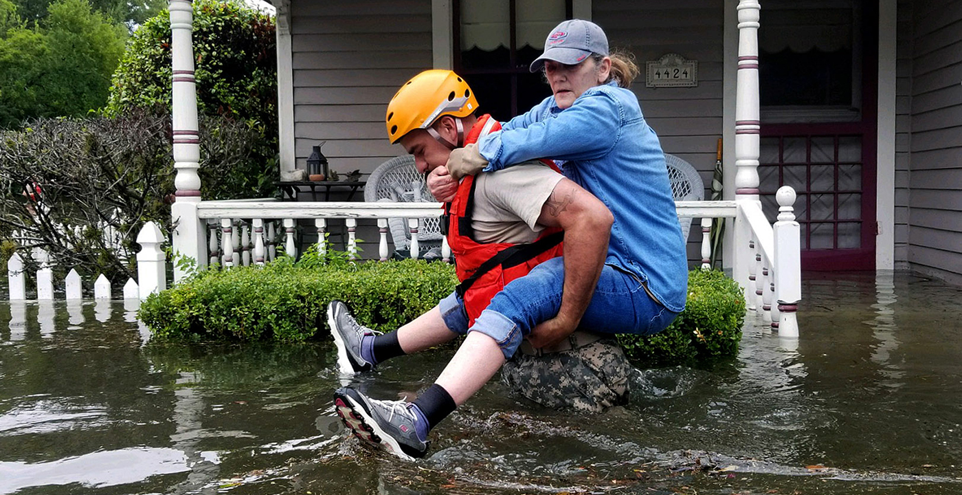
Uncanny
Uncanny refers to something that produces unease because it is both strange and familiar at the same time, like a lifelike robot, or a single dissonant chord at the end of piece of music. Uncanny sprung to mind when I saw this picture of the river that was once the street I walked down to go to school:

Without the sprinkling of familiarity, this would have been a terrible image, but not uncanny.
Déjà vu
But isn’t there also some déjà vu? Houston is a town that has flooded many, many times in the past – 16 times in a hundred years. Tropical Storm Allison back in 2001 produced 40 inches of rain compared to Harvey’s 50 inches, and there is a fairly modern flood control system of reservoirs and bayous. But in the 16 years since Allison the city has gotten bigger and sprawled further, with storms, according to leading climate scientists, likely to come at a faster pace (Link).
‘They paved paradise and put up a parking lot’
A study by a team under Sam Brody at Texas A&M University at Galveston has found that low-intensity urban sprawl is one of the prime manmade contributors to an increase in flood damage (Link). Paving over the natural wetland with impermeable surfaces like parking lots removes outlets where water can pool and soak into the ground, and the pumping of water out of the ground for urban development causes the land to sink or “subside”, making it more prone to flooding. Houston is a city with few land usage zoning laws, which means it is just as easy for a strip mall or a skyscraper to pop up in a suburban neighborhood – and it is always easier for large developers to build outward. This and ambiguity over to what extent wetlands are protected by federal environmental regulations mean that an estimated 38,000 acres have been lost to development in the last 2 decades. Furthermore, current development regulations are based on maps of the “100-year floodplain” or areas with 1 chance in 10 of flooding in a decade– but these don’t take into account the effect of rapidly changing land use or climate change projections (Link). It’s clear then, that the city’s renewal must involve urban planning.

Homeowner Actions
In the meantime, here’s what you can do if you’ve been affected by the hurricane or want to help. On Wednesday, we noted the large gap in areas affected by the storm and the extent of mandatory flood insurance coverage. However, since a disaster declaration has been issued for Harvey that extends to 50 Texas counties (covering around 25 percent of the state’s residents), it is possible even for those without flood insurance to apply for disaster assistance from FEMA which can cover temporary housing, unemployment payments, and other property losses not covered by insurance.
If you do carry flood insurance, you should prepare your claim as early as possible and take copious pictures, including one with a yardstick to show where the high water level outside your house was. Note that the new Texas House Bill 1774, which goes into effect Friday Sept. 1, attempts to reduce frivolous lawsuits, by decreasing the attorney fees you can recover if you don’t estimate within 80 percent accuracy the amount of damages done to your house. This only applies if you file a lawsuit, however.
There is a thoughtfully curated, open-source guide to all things Harvey including medical resources, lodging, and transportation here: Link
Volunteer Actions
Finally, if you would like to help out, Sketch City (Link) has a real-time of map of what parts of the city need volunteers and the New York Times (Link) has compiled a list of trustworthy organizations to donate to.
References:
FEMA
Houston Chronicle
ABC13
Dallas News
New York Times
Washington Post
USGS
The Urban Edge blog at Rice University
The Texas Tribune
Personal communications with Houston residents
-
ډیری عوامل افغاني ټولنې د زلزلې پر وړاندې زیانمنوي
- August 11, 2022 - What’s happening this week in Humboldt County, California: The squeeze - February 6, 2019
- Finding of the unexpected tsunami due to the strike-slip fault at central Sulawesi, Indonesia on 28 September 2018, from the preliminary field survey at Palu - October 15, 2018