By David Jacobson, Temblor
Check your seismic hazard rank
Yesterday, at 8:15 a.m. local time, a M=5.7 earthquake shook the southern portion of the Gulf of California. The quake was widely felt close to the epicenter, and felt reports came in on the USGS website from San Diego, where weak shaking would have been felt approximately 1,000 km away. Because the earthquake did not occur close to populated centers, no damage has been reported, and the USGS expects that none will be seen.

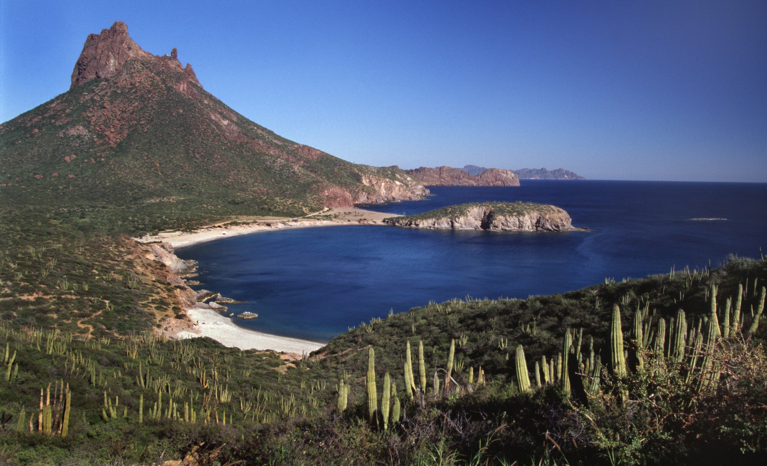
The Gulf of California is an important region tectonically as it marks a transitional corridor that separates the East Pacific Rise to the south, and the San Andreas Fault to the north. Over the last 20 million years, the western margin of the North American Plate has slowly evolved due to relative plate motions. In much of California and Baja California, the Pacific Plate is sliding northward. Products of this are strike-slip and extensional faults, which have caused Baja California to rift apart from mainland Mexico. It should also be pointed out that much of southwestern California is a remnant of the North American continent which was sheared off and moved to the northwest. This also means that the city of San Diego is slowly moving closer to San Francisco.
The video below shows the tectonic evolution of the western margin of North America
Within the Gulf of California, numerous spreading ridges are separated by traditional strike-slip faults. As the ridges move apart, small earthquakes occur near the ridges, while the larger earthquakes take place on the strike-slip faults. Most of the larger quakes in the Gulf are unlikely to disrupt daily life as they are far from populated areas. However, at the northern end of the Gulf, and into California’s Imperial Valley, where the system transitions to a continental boundary, large earthquakes have the potential to cause significant damage. This is partially due to the fact that the region is underlain by soft sediments which can shake violently and liquefy in earthquakes.

Based on the Global Earthquake Activity Rate (GEAR) model, which incorporates strain rates and past seismicity, magnitude 6.5+ earthquakes are expected along nearly the entire extent of the Gulf of California. Therefore, a M=5.7 quake should come as no surprise. However, it does help shed light on how the western coast of North America has transformed over millions of years. Additionally, this region is a textbook example of the opening of an ocean basin.
References
USGS
IRIS