By David Jacobson, Temblor
At just past 7 a.m. local time today, a M=5.3 earthquake shook the Big Island of Hawaii. According to the USGS, very strong shaking was felt close to the epicenter, while in the capital city of Hilo 44 km to the north, light shaking was recorded by seismometers. At 11 a.m. this morning, 8 a.m. in Hawaii, over 700 people had reported feeling the quake, which is unlikely to cause damage due to the moderate magnitude and the fact that the epicenter was not close to populated centers. The area in which today’s quake occurred is dominated by active volcanism in Hawaii Volcanoes National Park.

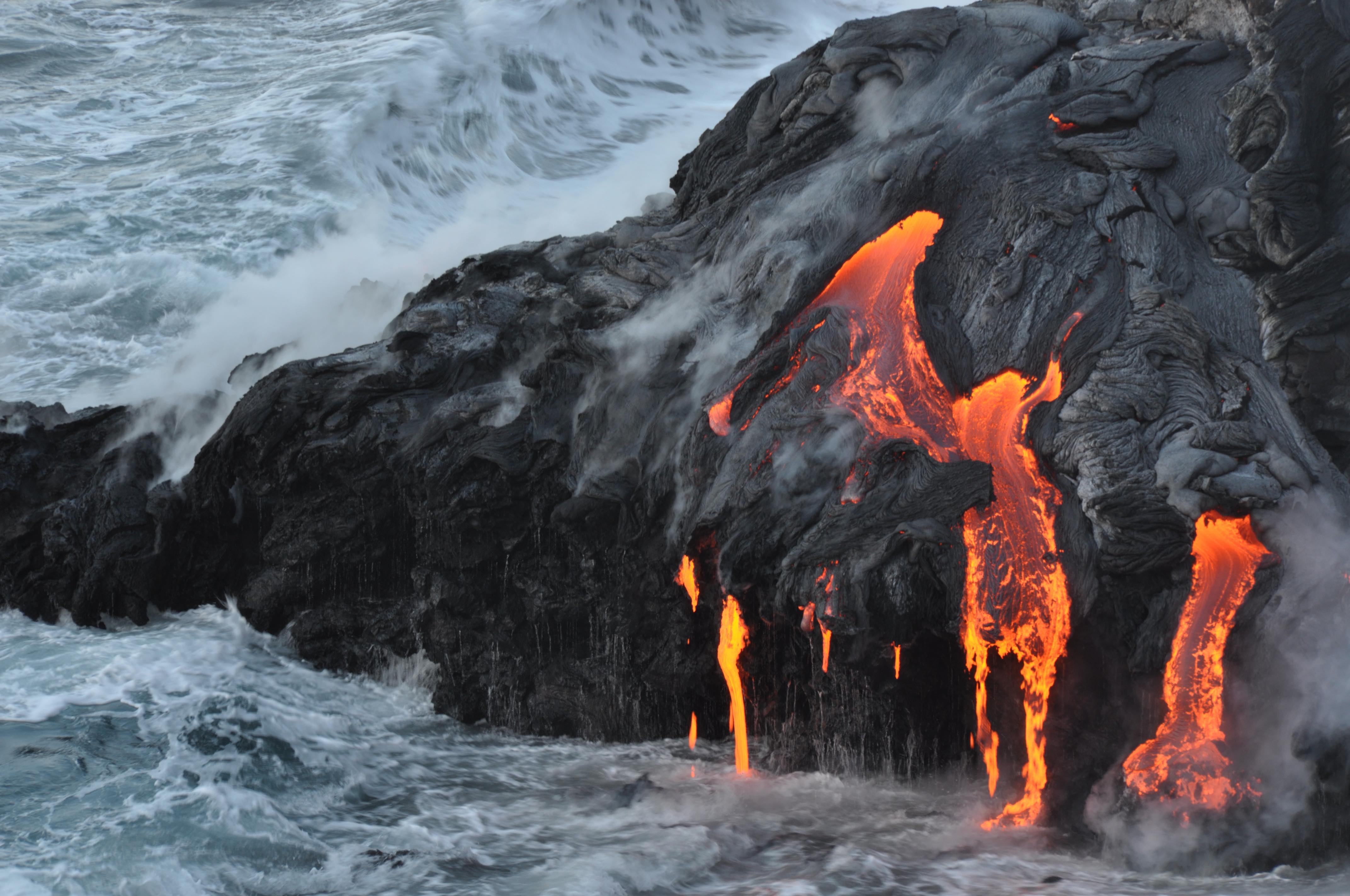
While most people imagine spectacular lava flows and Kilauea when they think of the Big Island of Hawaii, it is also a seismically active area. The majority of these earthquakes are “volcanic earthquakes,” meaning they are associated with magma moving beneath the surface. These quakes are often too small to be felt, but are picked up by local seismometers.
In addition to these “volcanic earthquakes,” more traditional earthquakes also occur around the Big Island. These are caused as the immense weight of the Big Island causes the entire island to subside. In turn, normal (extensional) faulting results. Based on the location and magnitude of today’s earthquake, one of these normal faults is the likely culprit.
Even though today’s quake was only moderate in size and there have been no reports of damage, the Big Island can and has experienced large magnitude quakes. In both 1975 and 1868, there were M=7.2 and M=7.9 earthquakes in similar locations to today’s earthquake. Both of these events caused damage and triggered local tsunamis up to 15 m high. A tsunami inundation map for Hawaii is shown in the figure below. What this shows is that, it is not just volcanic eruptions that Hawaiians have to be wary of.

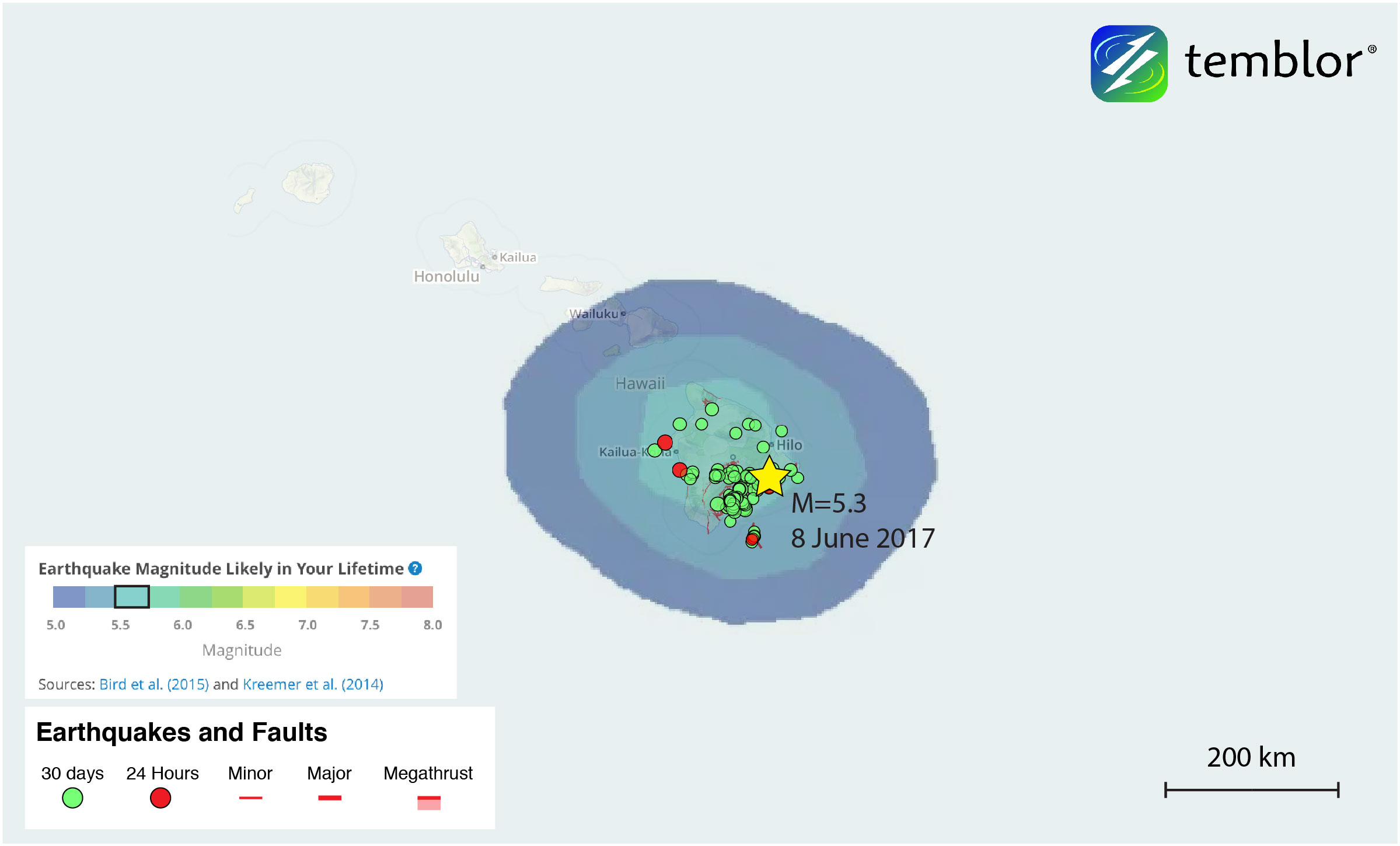
Based on the Global Earthquake Activity Rate (GEAR) model, today’s M=5.3 earthquake should not be considered surprising. This model uses global strain rates and historical seismicity since 1977 to forecast the likely earthquake magnitude in your lifetime anywhere on earth. From the Temblor figure below, you can see that nearly the entire Big Island, is susceptible to experiencing a M=5.5+ earthquake in your lifetime.
References
Hawaiian Volcano Observatory
USGS
University of Hawaii
- Magnitude 4.8 earthquake shakes the U.S. East Coast - April 10, 2024
- Magnitude 7.4 shock ruptures a fault in the Longitudinal Valley of eastern Taiwan - April 4, 2024
- Single-family homes are falling through soft story ordinance gaps - March 22, 2024